The rain you can't see is what fills the canyon.
Miles Upstream makes the invisible visible: the upstream watershed that fills a slot canyon with water from a storm you can't see. It shows conditions and quotes the official sources — but never tells you it's safe.
A free, pre-trip safety tool for 25 slot canyons across Utah & Arizona.


The problem it exists to interrupt
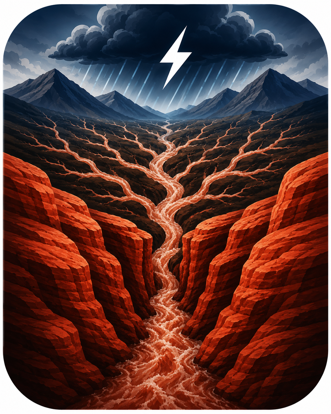
People die in slot canyons not because it's raining on them, but because rain fell miles upstream — out of sight, under a blue sky — and poured down a watershed they never saw. By the time you hear it, the walls are too high to climb. Miles Upstream turns your attention to where the danger actually forms: upstream, before you drop in.
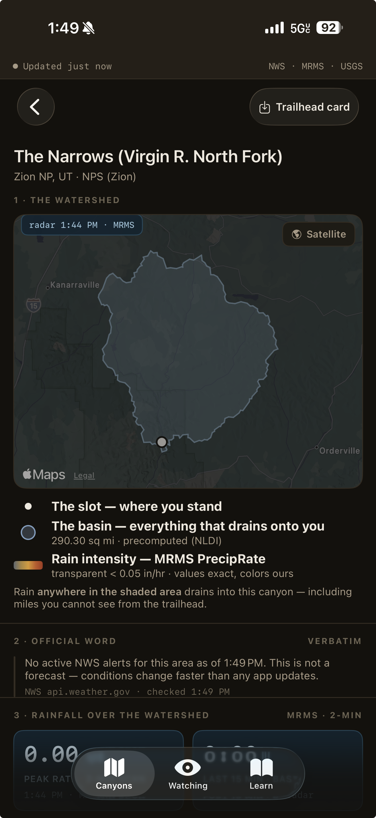
Every slot has a contributing basin above it — often miles wide and completely out of sight. Miles Upstream draws that basin on a map, so you can finally see where the water that fills your canyon actually comes from.
National Weather Service watches and warnings — plus National Park Service, BLM, State Parks, and tribal notices — quoted exactly as issued, with the time and the source, above anything the app calculates. An active Flash Flood Warning always leads.
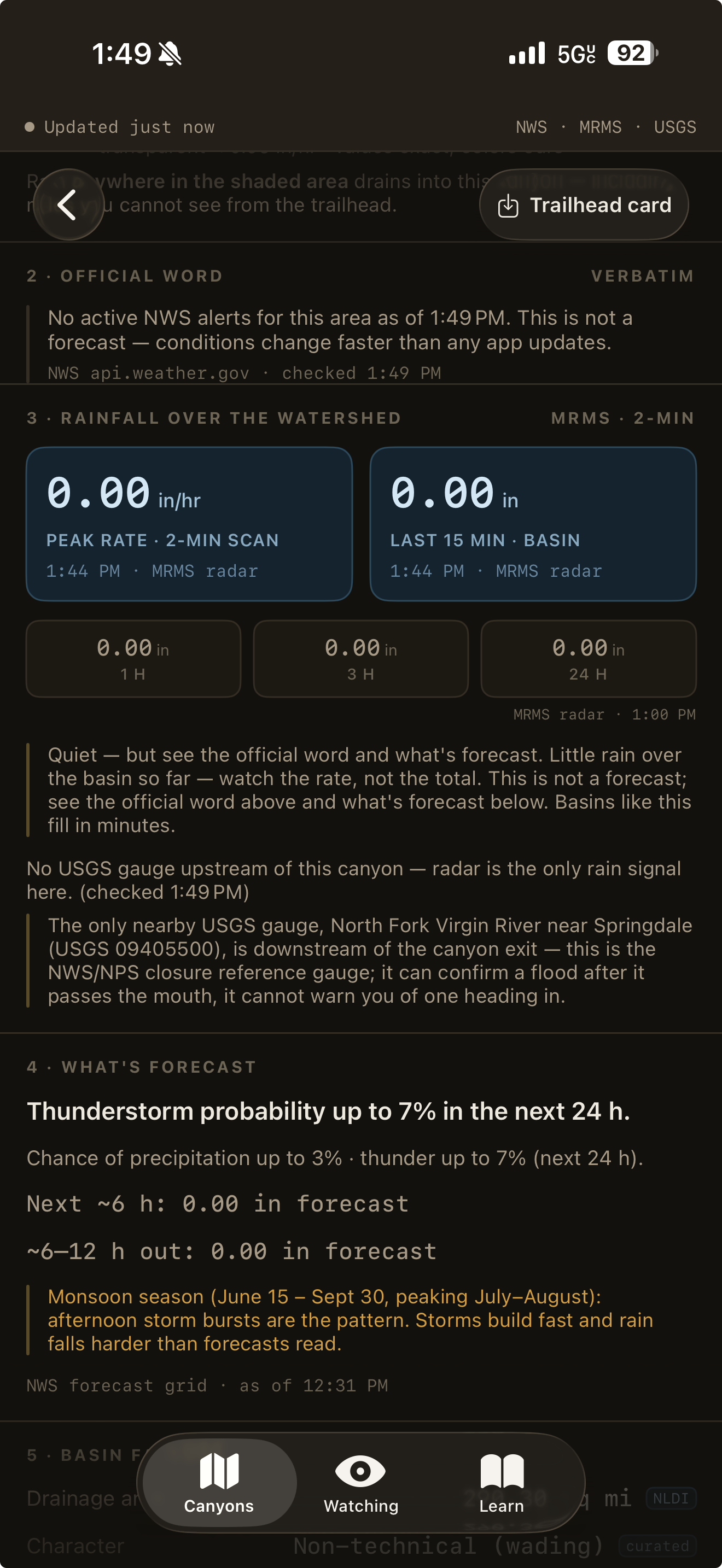
Using NOAA radar (MRMS), the app shows rainfall over your basin intensity-first: the peak rate, not just the daily total. A short, violent burst miles upstream is what fills a slot in minutes — so that's the number it puts first.
Burn scars that shed water instead of soaking it up, the size of the basin, whether an upstream gauge even exists — the app surfaces what amplifies the danger, and stays honest when the data is thin, stale, or missing instead of hiding it.
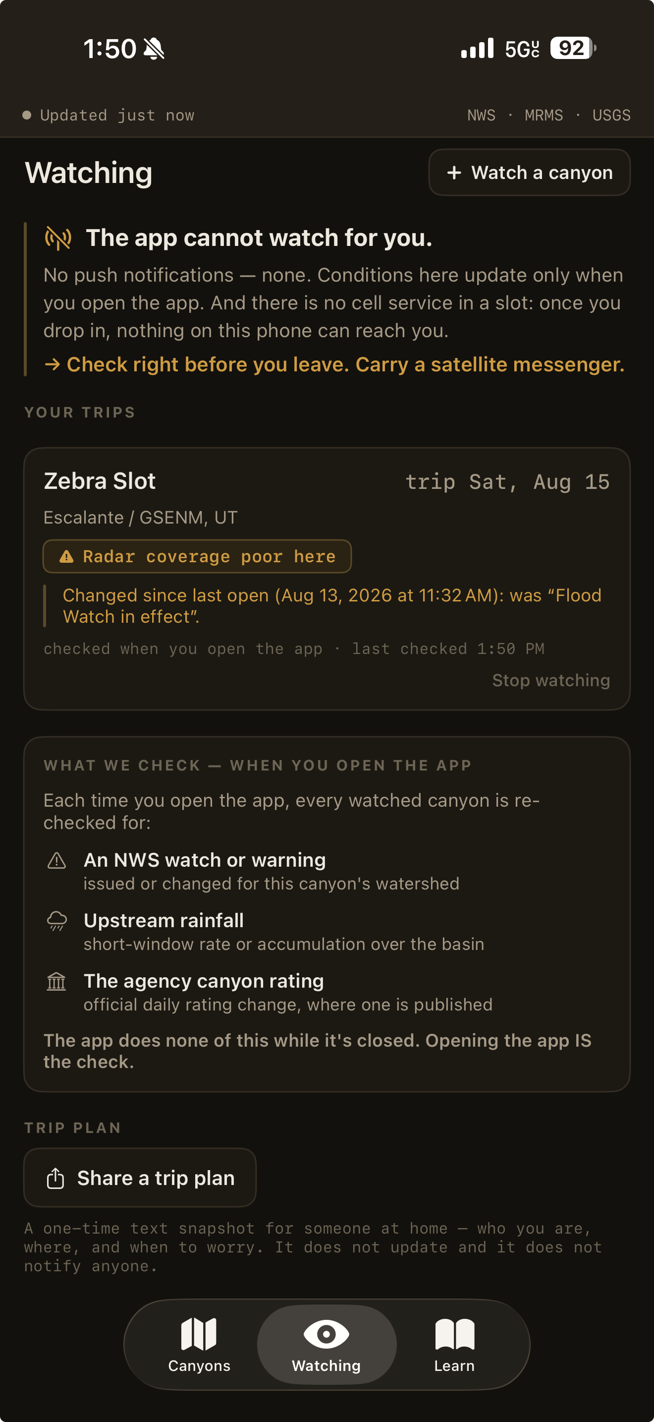
There's no cell service in a slot canyon, so Miles Upstream is a pre-trip and trailhead tool, not a live alert — it can't reach you once you've dropped in. Read it at the car, make your decision, and carry a satellite messenger.
The honest limit
No push notifications — none. Conditions update only when you open the app, and there's no cell service in a slot: once you drop in, nothing on this phone can reach you. Opening the app is the check.
Read it at the trailhead, with signal, minutes before you commit — not the night before.
It never says a canyon is safe and gives no go/no-go verdict. It shows the signals and their sources; the call is yours.
Once you're in the slot, a device that doesn't need cell service is what actually reaches help.

Miles Upstream never tells you whether to go in. No score, no green light, no go/no-go. It makes the upstream watershed visible and lets the official sources speak — the alerts, the radar rainfall, the gauges — each with its source and timestamp, so the call is yours. That honesty is the whole point.
Why it's free
Our other apps are pay-once, and proudly so. This one is different. Miles Upstream is a public good — free forever, no ads, no account, no revenue model. It ships with Apple's “No Data Collected” label, and your location, if you ever share it, never leaves your phone.
No ads, no subscription, no in-app purchases, no account. There's nothing to buy, ever.
“No Data Collected.” No tracking, no analytics, no cloud. Location stays on your device.
NWS, NOAA radar, USGS, NPS, BLM, State Parks and tribal notices — each shown with its source and the time it was reported. No AI guessing in the safety path.
Coverage: 25 slot canyons across Utah and Arizona at launch — from Buckskin Gulch and The Narrows to Zebra Slot, Bell Canyon, and Havasu — with more to come.
Miles Upstream is in development. It launches free on the App Store — no catch, no cost, forever.
Notify me at launch